Hamish Visser
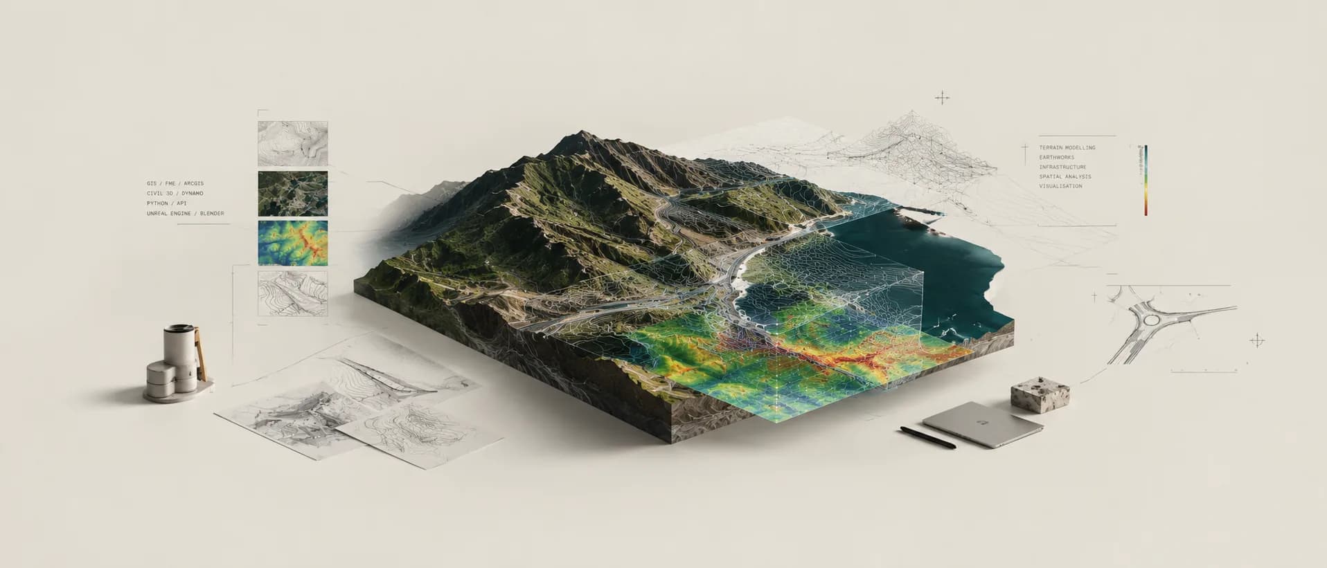
I build the tools that sit between design data and the people who need to use it. Most of that is automation: FME workflows, parametric definitions and GIS systems that take something slow and manual on an infrastructure project and make it repeatable.
- Role
- Previously
Featured projects
01
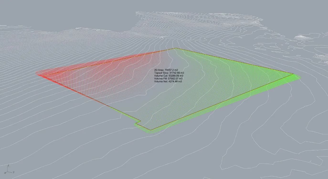
Parametric Earthworks Modelling
Earthworks volumes that recalculate the moment the geometry moves, benchmarked against Civil 3D, InfraWorks, OpenRoads and 12d Model. It is the only one of them that reads borehole logs and puts a number on how much rock sits above formation level before the price goes in.
RhinoGrasshopperExcel
2026Complete
02
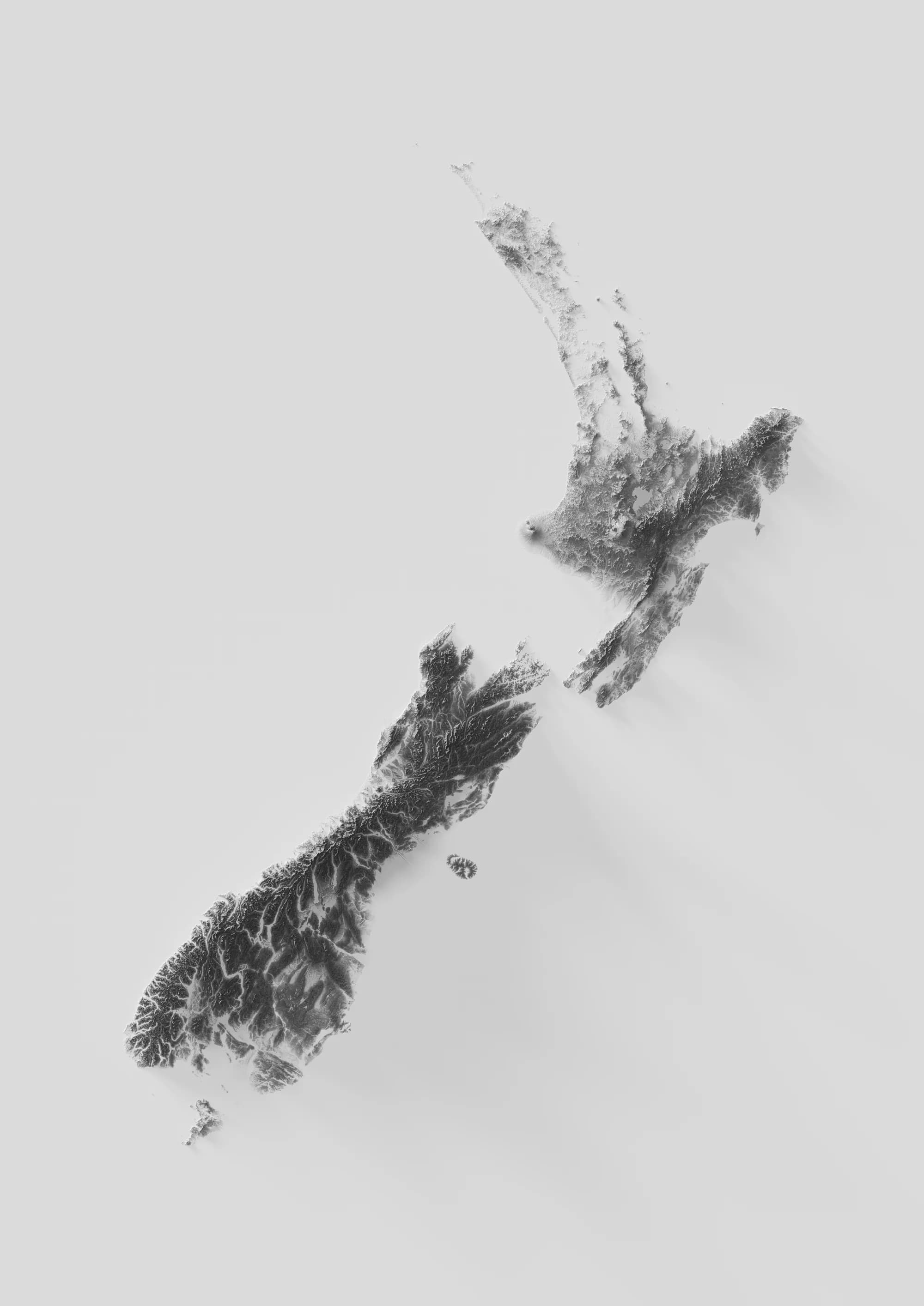
Topographic Prints
QGISBlenderLINZ Data Service
FMEInfraWorksArcGIS
03
CAD to GIS Workflow
FMEInfraWorksArcGIS
04
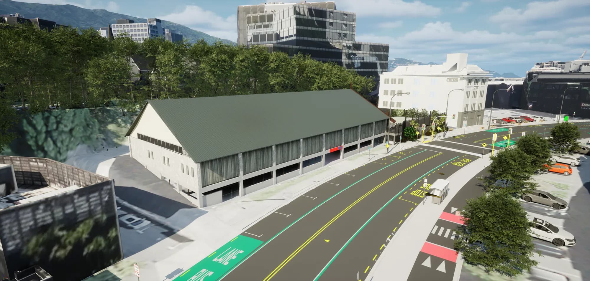
Design to Unreal Engine Pipeline
FMEUnreal Engine
Selected work
Full index- 01
A511
BIM CoordinationGIS 20262026 - 02
Drawing Checker Tool
Data AutomationQuality Assurance 20262026 - 03
GIS Process Guide
Standards / GovernanceISO 19650 20262026 - 04
Official Information Request Auditor
Workflow AutomationLLM Integration 20262026 - 05
Pavement Quantity Tool
Earthworks / GeotechnicalComputational Design 20262026 - 06
Public Data Scrape
GISAutomation 20262026 - 07
The Public Record
Web DevelopmentInformation Design 20262026 - 08
Automated Document Compliance
Data AutomationQuality Assurance 20252025 - 09
Meridian Water Strategic Infrastructure
GISAsset Management 20252025 - 10
Semi-Automated Retaining Walls
Parametric DesignComputational Design 20222022 - 11
Point Cloud Floor Plan Extraction
Point Cloud ProcessingAutomation 20212021 - 12
Summer Research Scholarship
Robotic FabricationComputational Design 20212021
By section
Work
Digital engineering on live infrastructure. Highways, rail, renewables, housing and regeneration, across Taylor Woodrow in the UK and Aurecon in New Zealand.
9 entries / 2021 to 2026
Tools
Things built to remove manual effort, and the standards that decide whether they get used. FME pipelines, Grasshopper definitions, internal systems, and workflows that turn a week of someone's time into a process that runs in seconds.
15 entries / 2021 to 2026
Objects
Physical work. Product design, 3D printing, robotic fabrication and the industrial design background that the computational work came out of.
4 entries / 2020 to 2026
University
Industrial design coursework from Victoria University of Wellington, 2018 to 2020, gone back through and documented properly: what each piece was, how it worked, and what it got wrong. The background the objects work and the computational work both came out of.
10 entries / 2018 to 2020
Beyond
Work outside the day job that is not an object. Web development, and automation built for other people's problems.
3 entries / 2026
Recognition
- Digital Construction Team of the YearLondon Construction Awards2025
- VINCI Group Innovation Awards, Runner UpVINCI2026
- VINCI Group Innovation Awards, Special MentionVINCI2026
- Information Management PractitionerOperam Academy2026
- Value Award, ExcellenceTaylor Woodrow2025
- Best Case StudyTaylor Woodrow2025
- Innovation LeaderTaylor Woodrow2025